
174 Providence Road (Route 122, behind Riverview Apartments)
Grafton, MA - GPS Coordinates: 42.186612, -71.692359
 The canoe access for Fisherville Pond is behind Riverview Apartments and is adjacent to the Riverview Park soccer field, which provides plenty of parking. The pond is at the southern end of the 5.6 mile Quinsigamond River and meets up with the Blackstone River by paddling south.
Put in here and enjoy the fish and wildlife in this broad reach of the river, or continue on down to the confluence with the Blackstone River. Make note of where the Quinsigamond River meets the Blackstone River on river right and enjoy its majesty. Notice the different feel of the Blackstone – it’s a bigger river with more current, higher banks and lots of history. Follow the river down to the split where the river makes a loop. Along the way you are passing the old Blackstone Canal route on your left and at the split look down and you may see remnants of a small dam that was used for the canal. Reports are that conditions are not suitable for making the trip around the loop, but you can explore parts of each section to enjoy a quiet paddle and see Herons, turtles, birds, and other wildlife.
After coming back out to where the Blackstone meets with the Quinsigamond River, you can turn right to paddle down to the Fisherville Dam being careful to veer right into another small pond, suitable for fishing. Turn back up river from here to the boat launch.
You can also chose to paddle north from the launch along the Quinsigamond River toward Lake Ripple. This section of the river is also pretty and the water is slow enough to paddle upstream. You may encounter several beaver dams and felled trees before reaching Lake Ripple.
Suitable for all skill levels: Yes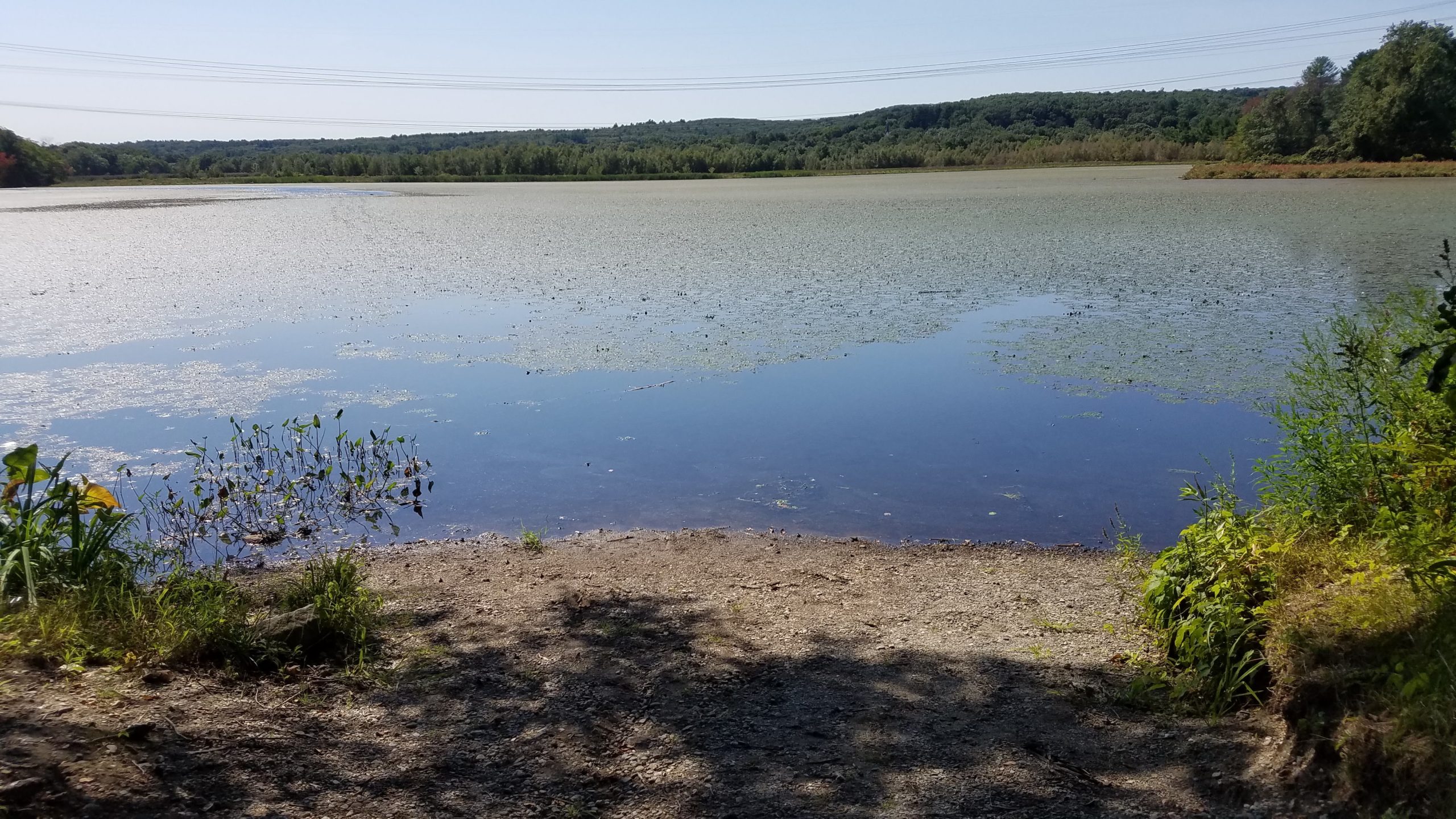
Parking on site: 50 parking spaces; boat launch is adjacent to Riverview Park with soccer field
Restrooms: None
Access: Gravel ramp
Supervising Entity: Commonwealth of Massachusetts Department of Fish & Game
Access: Small boat put in
Approximate Length of Carry between Car Access and Water: 75 feet
Supervising Entity: MA Department of Conservation & Recreation
