
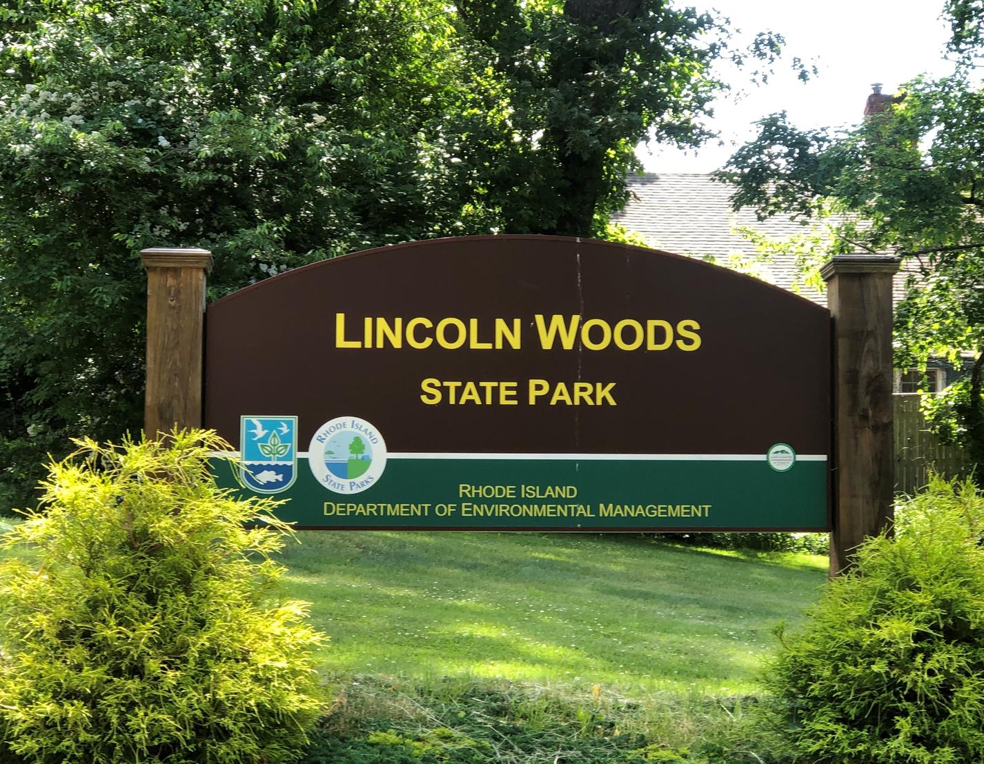
2 Manchester Print Works Road, Lincoln, RI
Secondary entrance at the Twin River Road Exit off Route 146
GPS Coordinates (to boat ramp): 41.889960, -71.428227
 The main feature of Lincoln Woods is Olney Pond, the 130-acre reservoir at the center of the park. A dam at its
eastern end, constructed in the early 1900's tripled the original pond's size. The sprawling pond has small
islands and many coves with secluded picnic areas, tiny beaches, rocks and sunny spots that can be reached by automobile or boat. Small boats can be hauled by car to many of these places and carried to the water for launching. The primary boat launch location, the only one suitable for large, towing vehicles, is located on the east side of the park, a mile from the main entrance. An entrance sign on the left side of the ring road directs you down a bumpy dirt path to the launch area parking lot.
Kayak and canoe enthusiasts usually favor this site to begin their paddle excursions. A paddle trip around the shoreline can take anywhere from one to two hours, depending on how much shoreline you want to explore. Starting from the boat launch site, you can turn right and hug the shore all the way to the dam where you will usually see fishermen hanging out. Continuing from there you will pass a large rocky outcrop and then enter the first of several coves. Keep an eye out for the many submerged rocks near the shoreline which become more or less apparent as water levels rise and fall with the season.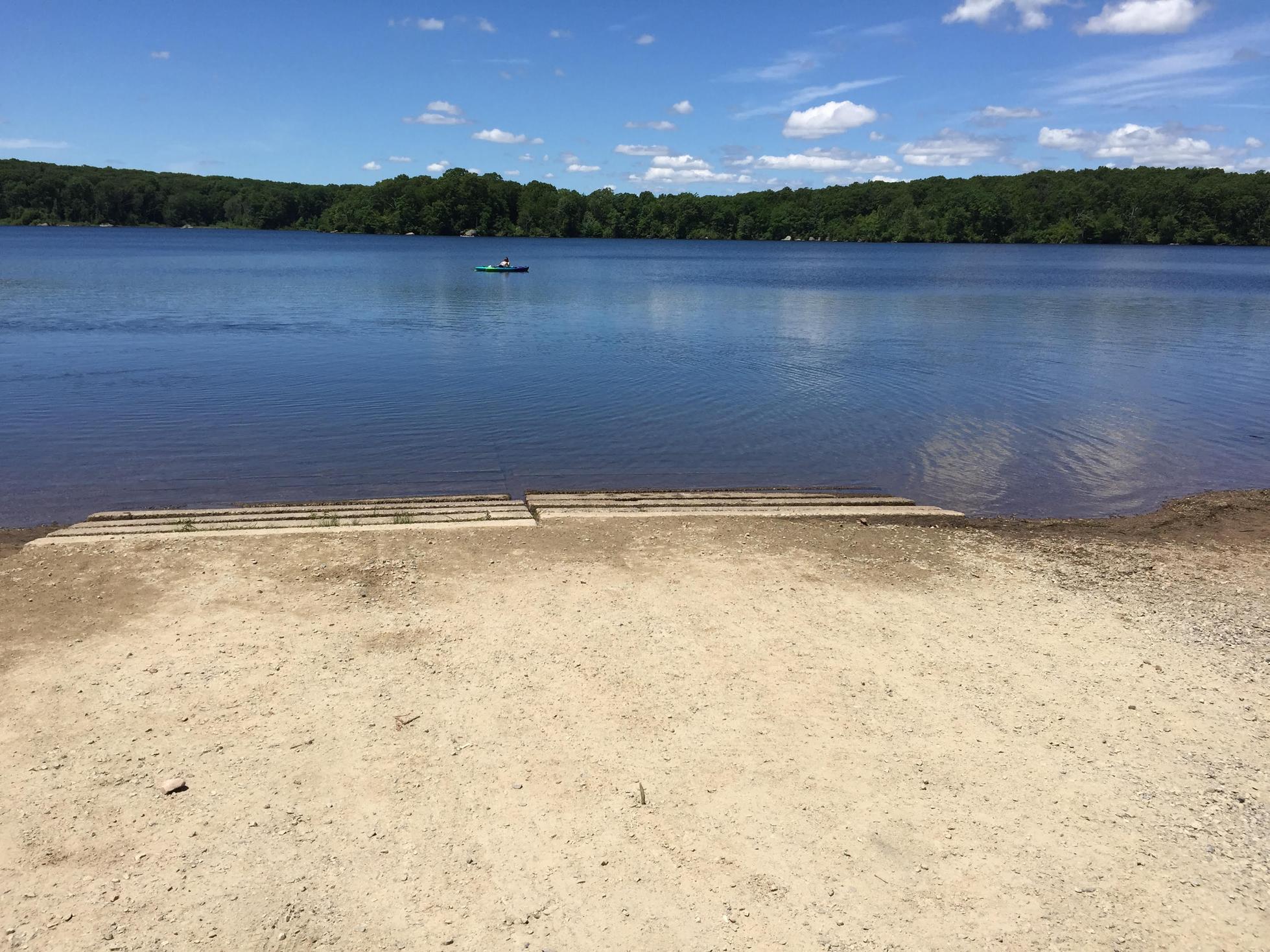
Suitable for all skill levels: Yes
Parking on site: 15 to 20 spaces at boat launch
Restrooms: None. (Bathrooms may be open seasonally at the beach)
Access: Boat ramp
Supervising Entity: Rhode Island Department of Environmental Management
