5 Manville Hill Road
Cumberland, RI
GPS Coordinates: N41 58.334 W071 28.258
(Bridge currently closed to the west of the river – must access from the Route 122 end for now)
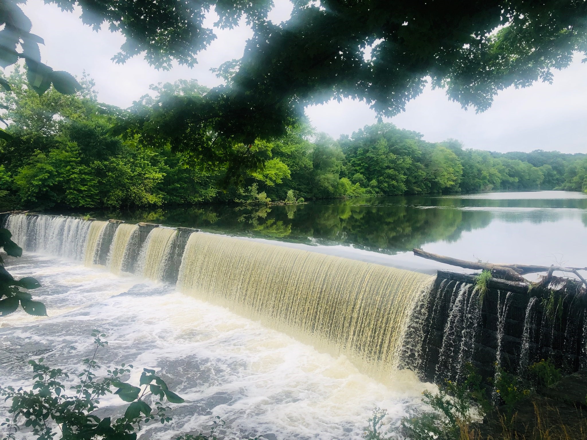
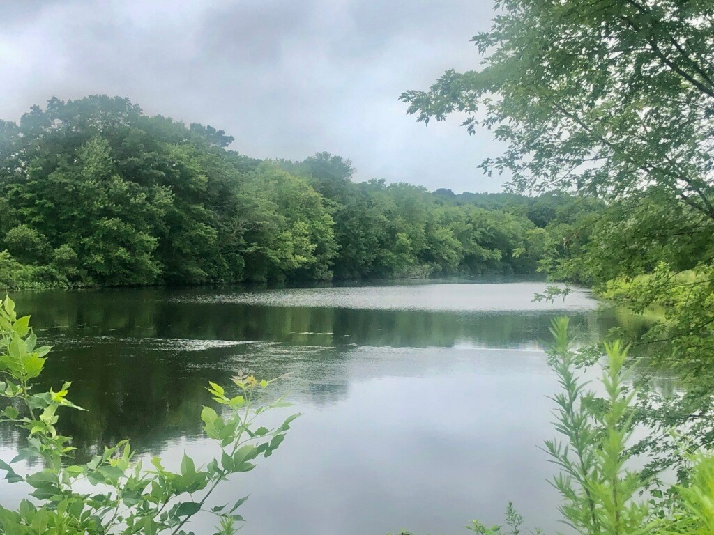 Paddling access to this part of the Blackstone River is at Manville Landing Park. Soon after you launch, you will find an unguarded dam dropping off just downriver – avoid this area and head north. There is a marshy cove and lots of waterfowl to see near the launch. Most of the shorelines are undeveloped and rich with wildlife – wooded and natural. There is a small amount of current that will be against you on your way north (it will help you a bit on your way back). Paddle upstream (right) then return.
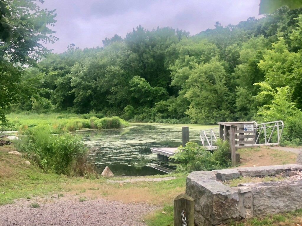
At the end of the paddle north, arriving at River’s Edge Recreation Complex in Woonsocket, the river may become shallow and rocky depending on the season. There is a boat launch there if you wish this to be a one-way trip. Distance round trip, approximately 6.25 miles.
It is possible, but not easy, to portage south on the bike path around the Manville Dam.
Note: Beware of geese at the Manville Landing.
Suitable for all skill levels: Yes
Parking on site: 18 spaces – ADA accessible
Restrooms: None
Access: Boat ramp
Supervising Entity: Rhode Island Department of Environmental Management