
Log Road, Smithfield, RI
GPS Coordinates: 41° 54.044' N 71° 32.776' W
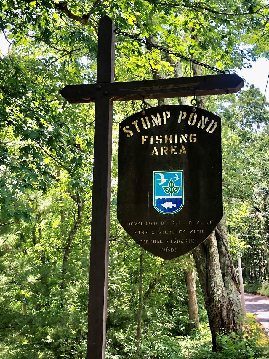 Stump Pond in Smithfield, covering 300 acres, was first created by damming the Woonasquatucket River in 1853. Informally known as Stump Pond because of the many tree trunks visible after its creation, it is also known as Stillwater Reservoir and Woonasquatucket Reservoir. Stump Pond has two concrete boat launch ramps, a small one off of Log Road on its western edge and the larger ramp designed for trailered boats at the dam on its
eastern shore.
The Log Road launch site is the preferred place for launching small hand-carried boats. Once in the water, many
paddlers turn left and go north along the west shore of the pond roughly paralleling Log Road. That side of the
pond will be in full sun mornings and early afternoons but has plenty of shade in late afternoon. The water here
is frequented by many small ducks and a few Canada geese. At the northern end of the pond is a small cove filled
with many varieties of aquatic plants, including two different water lily species. As you turn to the right and
paddle toward the eastern shore, you will see few dwellings.
Close to the shore and inside the two additional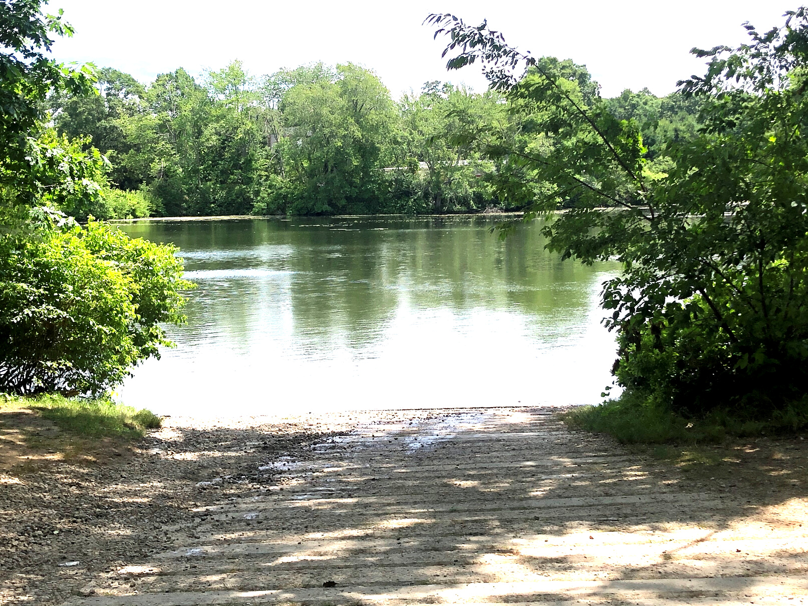
coves there are again many aquatic plants that will slow your progress if you get too far into the floating mats.
Most days, a pair of swans seems to favor this part of the water. Paddling further along the eastern shoreline you
will reach the large concrete dam that created the reservoir. The dam can be accessed directly from Route 104,
Farnum Pike. The dam, a popular fishing site, s serviced by a large parking lot with room for about 15 cars. There
are two handicapped parking spots but no ADA accessible launch site and no toilet facilities. Just north of the
dam is a concrete ramp for launching powered boats as well as canoes and kayaks.
Suitable for all skill levels: Yes
Parking on site: 12 spaces
Restrooms: None
Access: Boat ramp
Supervising Entity: Rhode Island Department of Environmental Management
